Trekking in Norway: The 5 Most Iconic Trails for Every Level
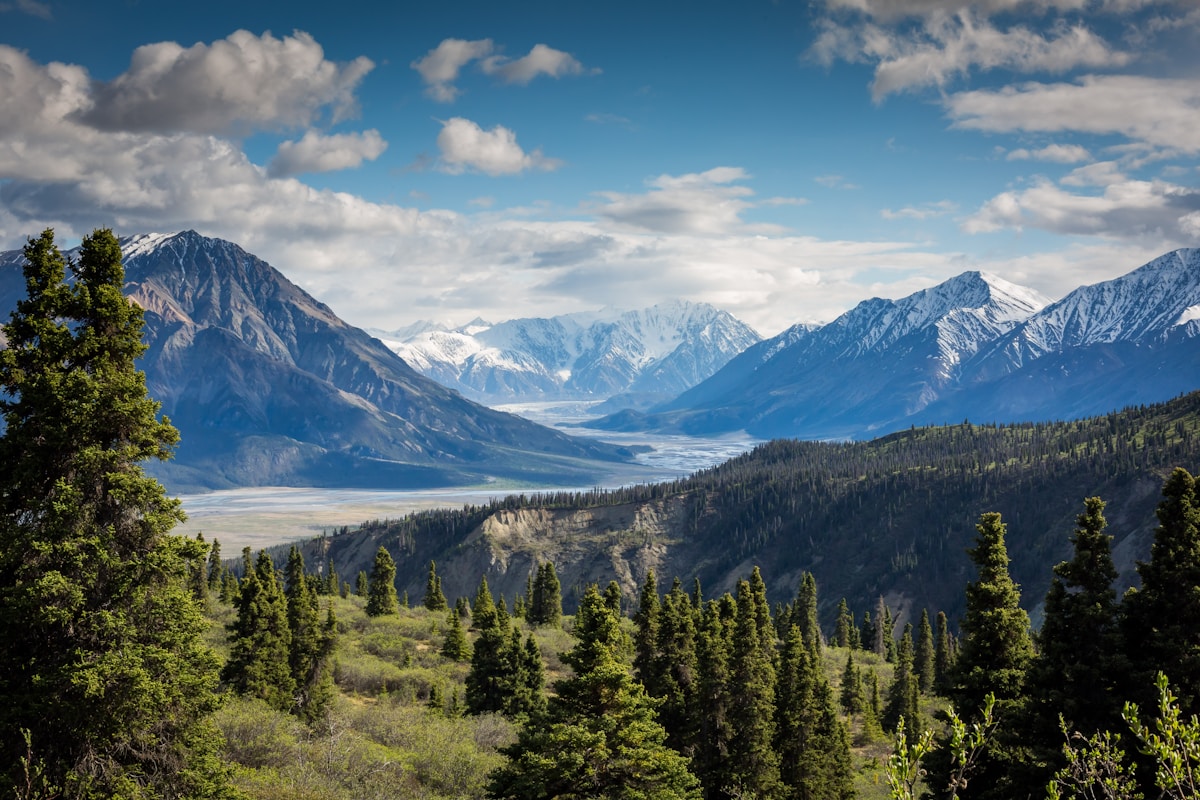
Norway is the Trekking Country par Excellence
Few nations in the world offer a combination of accessibility, spectacular scenery, and trail quality quite like Norway. The Iron Trail (Jernbanen), the T-merket (the red T mark of the DNT indicating official trails), the network of open cabins (often with honor-system self-service), the right to roam in nature — everything has been designed to make the Norwegian mountains accessible to anyone. Here are the 5 trails that define Norway for hikers.
1. Preikestolen (Pulpit Rock) — Level: Easy/Medium
Distance: 8km round trip | Elevation gain: 334m | Time: 4-5h
The 604-meter granite platform overlooking the Lysefjord is the most famous hike in all of Norway. It is not technically difficult — the trail is well marked and equipped — but it requires good physical fitness for the elevation gain. The summit has no fences: you are literally on the edge of a 604-meter vertical cliff. Go early in the morning (before 8) or in September to avoid queues on the trail.
How to get there: ferry from Stavanger + shuttle bus to the starting parking lot.
2. Besseggen Ridge — Level: Medium
Distance: 19km | Elevation gain: 600m | Time: 7-9h
The traverse of the Besseggen ridge in Jotunheimen National Park is probably the most spectacular trekking day in Scandinavia. The ridge is at 1,743m altitude and separates two lakes of different colors: the emerald green of Gjende and the blue of Bessvatnet. Some sections are on exposed rock — not suitable for those who suffer from vertigo. It starts from the Gjendesheim boat station (accessible by ferry on the lake).
3. Kjeragbolten — Level: Medium/Hard
Distance: 11km | Elevation gain: 550m | Time: 6-7h
The Kjeragbolten boulder is wedged between two rock faces at 1,000m altitude above the Lysefjord. The photo on top of it is one of the most imitated in Norway. The climb is demanding with some chains for the steepest sections. The view over the fjord is even superior to that of Preikestolen. Departure from Øygardstøl (accessible by ferry from Stavanger or by car from the E39).
4. Trolltunga — Level: Hard
Distance: 22km | Elevation gain: 800m | Time: 8-12h
The "Troll's Tongue" — a horizontal rocky protrusion 700m above Lake Ringedalsvatn — has become the symbol of accessible extreme trekking par excellence. The route is long and physically demanding. Important: start very early (by 6 am in summer) to avoid queues in the final hours and not risk being caught in the dark on the return. July-September only for the summer version; the rest of the year requires snow experience and crampons.
5. Hardangervidda Traverse — Level: Expert
Distance: 80-160km | Days: 5-10 | Difficulty: Mountaineering
The Hardangervidda plateau is the largest in Europe at sub-arctic latitudes (1,200-1,400m altitude). The complete traverse from Haukeliseter to Finse (on the Oslo-Bergen train) crosses the wildest wilderness in mainland Norway: no roads, only marked DNT trails and cabins every 15-25km. The presence of wild reindeer (the largest herd in Europe), the autumn colors (September), and the sky without light pollution make it an experience of absolute freedom.
Basic Equipment for Norwegian Trekking
- Waterproof hiking boots with Vibram soles — trails can be wet even in August
- Layered clothing (weather changes in 20 minutes in Norway)
- Waterproof shell always in the backpack
- Ut.no App (the official DNT app for Norwegian trails): offline maps, cabin information, weather alerts
- Telescopic poles: your knees will thank you on the descents


